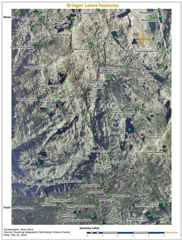
This is week 1 of remote sensing, really excited about this class. We began interpreting imagery in GIS, working with different file formats, introduced to pyramids and raster resolution, and making length determinations with imagery.
 |
| Sweeny Lake |
This is a map I made of which incorporated a raster. We calcuated distances using the measure tool and closely observed the imagery.